
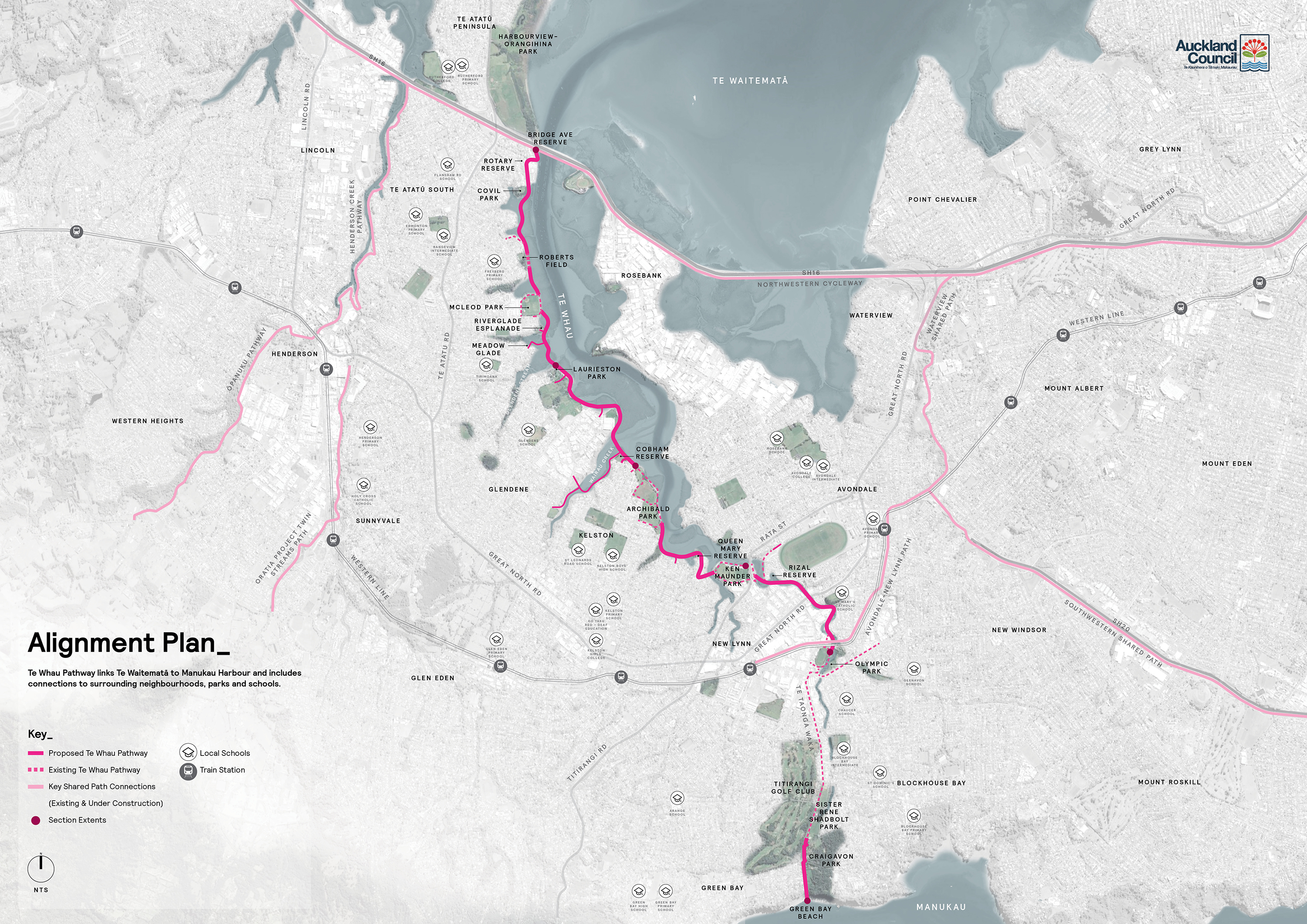
The Auckland Connections map shows how the pathway connects to the rest of Auckland, and how it connects to schools and parks. Click on the map to view a higher quality version of the map (20MB).
![]() The Alignment map is also available as a PDF file (2MB).
The Alignment map is also available as a PDF file (2MB).
To see the currently funded areas, see the Section Overview map.
